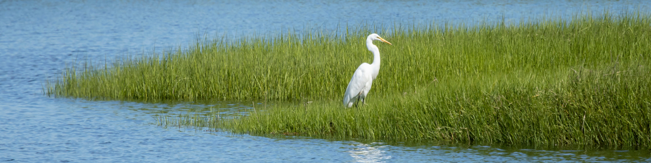
Wetlands are vital to the ecology, economy, and culture of New England and New York State.
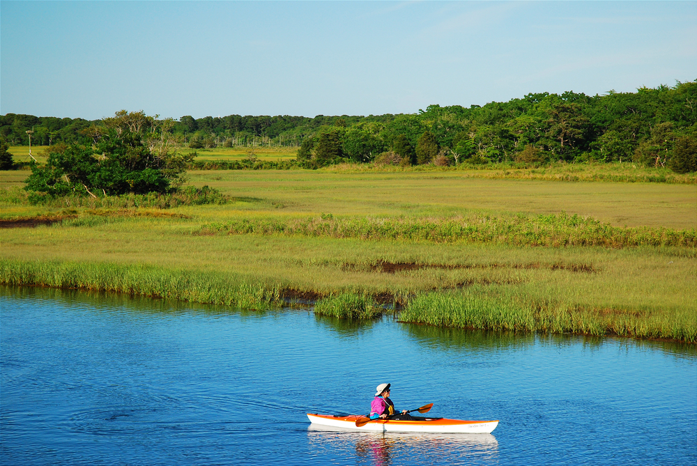
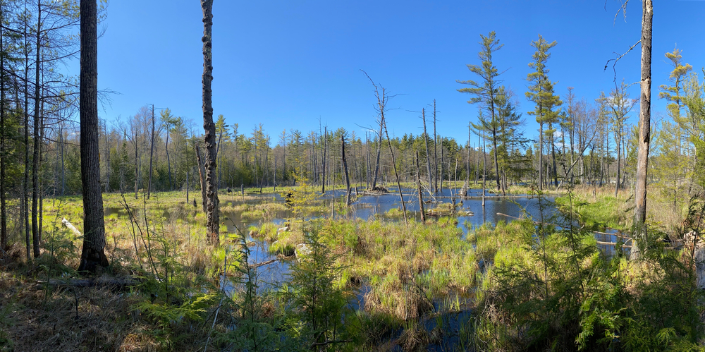
A wetland is broadly defined as an area in which water saturates the soil. Commonly referred to as “nurseries of life,” wetlands provide critical habitat for thousands of species of flora and fauna. They also contribute significantly to ecosystem services such as pollutant and nutrient filtration, flood control, recreation, aesthetic appreciation, and culture. Wetlands are integral to indigenous lifeways across the northeast. Human development, invasive species, nutrient pollution, and extreme weather impacts continue to degrade these fragile and important ecosystems.
For more information, please explore the Environmental Protection Agency’s wetlands resources.
NEIWPCC’s Role
As a regional commission, NEIWPCC works with its member states and partner organizations to study and preserve wetland ecosystems.
Since the 1990s, NEIWPCC has managed the New England Biological Assessment of Wetlands Workgroup (NEBAWWG). NEBAWWG members meet biannually to share information on monitoring and assessment of regional wetland health. NEBAWWG regularly coordinates with national-level partners such as the National Association of Wetland Managers (NAWM) and regional workgroups such as the Mid-Atlantic Wetland Workgroup (MAWWG).
NEIWPCC also coordinates and facilitates the Wetlands Workgroup (WWG). WWG members meet biannually to discuss and share information regarding state and federal wetland regulatory programs and policies.
Wetland health and resilience is discussed in other NEIWPCC workgroups including the Harmful Algal Bloom Workgroup.
Resources
Floristic Quality Assessment
The Floristic Quality Assessment (FQA) is a robust, botanically based method for assessing the quality of ecological communities and natural areas. Learn more about the Northeast Regional FQA.
Technical Soil Guides
Hydric soils are saturated by water, whether seasonally or year-round. The Field Indicators for Identifying Hydric Soils in New England, (Version 4, June 2020) serves as a one-stop guide for identifying hydric soils in New England. The document contains hydric soil indicators specific to New England, along with guides, charts, diagrams and detailed user notes to better interpret and understand the indicators.
Additional information is available from the New England Hydric Soil Technical Committee (NEHSTC).
Wetlands Watchers Podcast Series
Listen to our podcast series to learn more about wetlands!
New England Wetland Webinar Series
NEIWPCC hosted a multi-year webinar series focusing on wetland protection strategies, mapping, and state initiatives.
For more information, please contact Alex DuMont at adumont@neiwpcc.org.